Curious why some North Georgia neighborhoods feel more open, greener, and connected to the land? If you are exploring property in Clarkesville or elsewhere in Habersham County, you may have heard the term conservation subdivision. Whether you are buying, selling, or considering developing land, understanding how these communities work can help you make smarter decisions. In this guide, you will learn what a conservation subdivision is, how it is approved in Georgia, what to look for locally, and the benefits and trade-offs. Let’s dive in.
Conservation subdivision basics
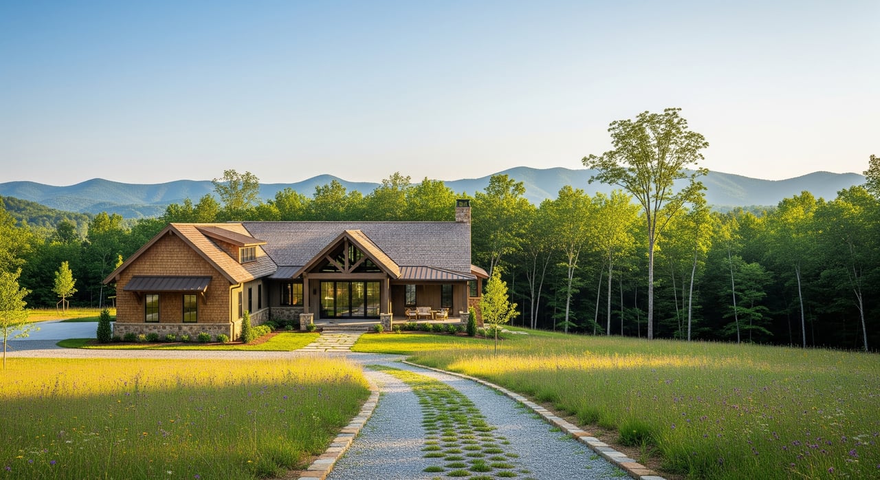
A conservation subdivision is a neighborhood design that clusters homes on smaller lots so a significant portion of the property stays as permanent open space. Instead of spreading lots evenly across the entire tract, the plan concentrates homes in the most suitable areas and preserves the rest.
The goals are straightforward:
- Protect streams, wetlands, steep slopes, mature forests, and wildlife corridors.
- Preserve scenic views and rural character, especially along ridgelines and valleys.
- Reduce road length and impervious surfaces to lower costs and environmental impacts.
- Create shared amenities like trails, meadows, or agricultural areas for residents.
How is this different from a conventional subdivision? The total number of homes often stays similar to what zoning allows, but the lot sizes and layout change. You will see a larger, connected open-space tract that is protected for the long term. Ownership and management of that open space can be handled by an HOA, a land trust with a conservation easement, a public agency, or a private owner with deed restrictions.
How they work in Georgia
Local rules and approvals
Conservation subdivisions are enabled through local zoning and subdivision regulations. Counties and cities decide whether they allow them and what standards apply. For Clarkesville and Habersham County, the first step is to confirm the applicable rules with Habersham County Planning & Development or the City of Clarkesville if the property is inside city limits. The Northeast Georgia Regional Commission, Georgia Department of Community Affairs, and University of Georgia Cooperative Extension offer technical guidance used by many local governments.
Some places adopt a specific conservation or cluster subdivision ordinance. Others use a Planned Residential Development or Planned Unit Development approval path. In certain cases, clustering is negotiated through conditional approvals. The process varies by jurisdiction, so local verification is essential.
Legal tools to know
Conservation subdivisions rely on recorded instruments that define and protect the open space:
- Conservation easement. A permanent legal restriction that limits development on the open-space tract. Easements are typically held by a qualified land trust or government agency.
- Restrictive covenants and HOA rules. These documents lay out uses, maintenance, and enforcement within the community, often alongside or instead of a third-party easement.
- Plats and related records. The recorded plat shows lots, open-space tracts, and easement boundaries.
Typical numbers and expectations
While local rules vary, many programs require an open-space set-aside between about 30 percent and 70 percent, with a common target near 50 percent. Overall density usually equals what base zoning allows, and some communities offer a small bonus for preserving more open space. Clustering can reduce internal road mileage and utility runs, which can lower per-lot costs, but it may require a different approach to stormwater and grading.
North Georgia design essentials
Site features in Clarkesville and Habersham County
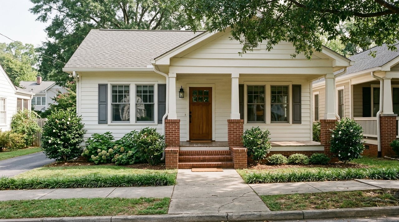
This part of North Georgia sits in the lower Blue Ridge foothills. The land often includes steep slopes, headwater streams, mixed hardwood forests, and soils that can be sensitive to erosion. Scenic ridgelines and long views are a signature feature. These conditions shape where homes can go and where open space makes the most sense.
Common design elements
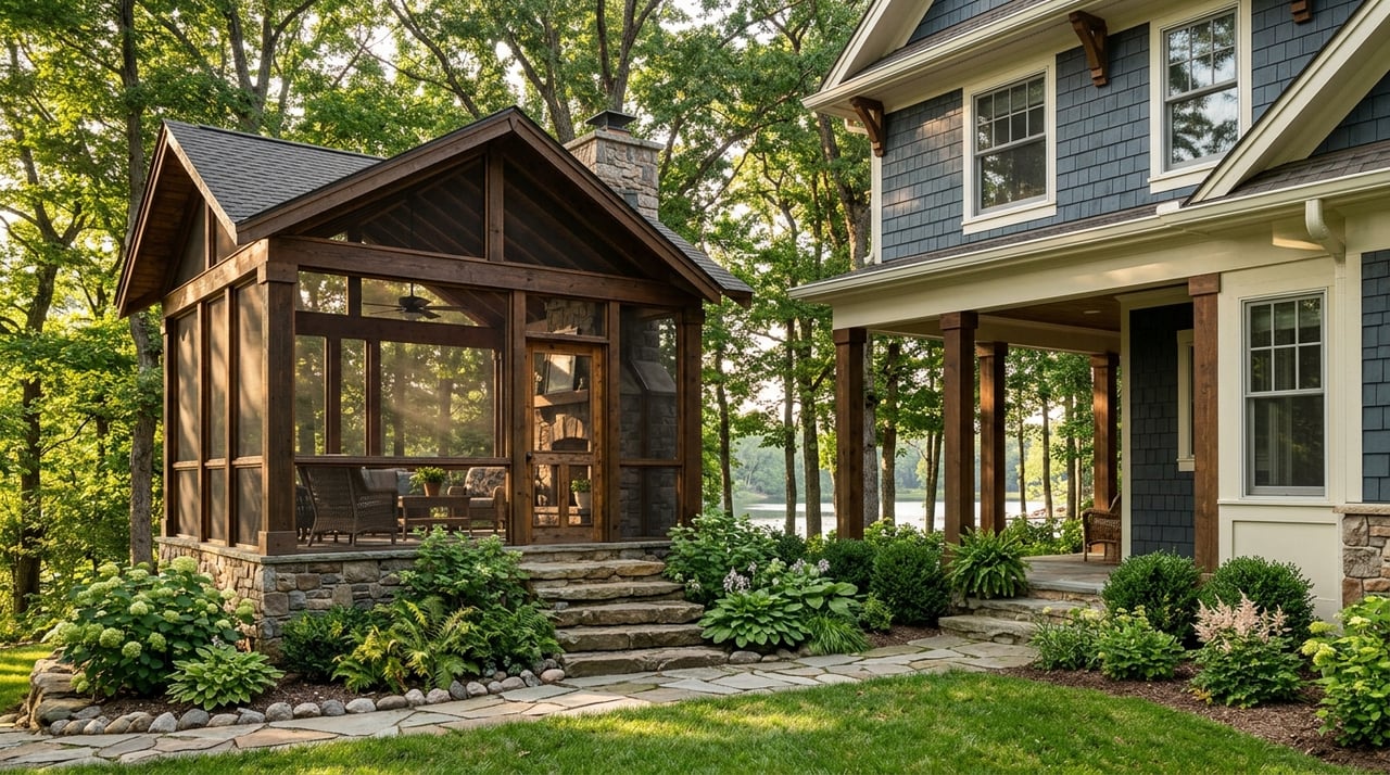
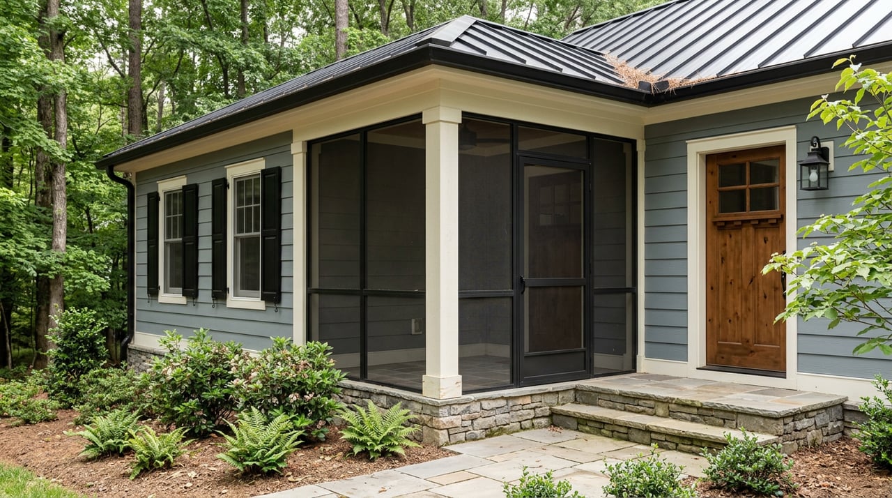
Expect homes to be clustered on gentler slopes and less sensitive soils. Open space is planned as a connected network rather than small leftover patches. That can include stream buffers, greenways, and wildlife corridors. Communities often feature smaller private yards with shared meadows, gardens, or trails, plus low-impact stormwater design such as bioretention or infiltration swales. Road alignments typically follow natural contours to reduce tree removal and earthwork.
Constraints to plan for
Septic feasibility is a major factor on many sites. Steep slopes and shallow soils can limit where drain fields work, and the county’s Environmental Health Department will review septic permitting. Floodplains must be avoided for homes and critical infrastructure. If wetlands or jurisdictional streams are present, work may require coordination with the U.S. Army Corps of Engineers and state agencies. Road access and driveway permits may be needed from the county or Georgia DOT, and steeper roads can require engineered solutions.
Benefits and trade-offs
What buyers often value
- Protected open space, cleaner headwater streams, and more intact forest cover.
- Scenic views and a rural feel that matches the North Georgia lifestyle.
- Shorter internal roads, less pavement, and shared amenities like trails.
Many buyers appreciate the privacy and community benefits these neighborhoods provide. In some markets, lots in conservation subdivisions can command a premium because of the setting and amenities.
What to weigh carefully
- Individual lots are usually smaller, which may not fit every buyer’s preference.
- HOA fees and rules support long-term stewardship of the open space.
- Steep terrain or limited soils for septic can reduce the achievable lot count or add costs for alternative solutions.
- Permitting can be more complex due to environmental reviews and grading considerations.
Local due diligence steps
If you are considering a conservation subdivision in Clarkesville or elsewhere in Habersham County, start with clear due diligence. The steps below help buyers, sellers, and landowners avoid surprises.
First contacts and documents to check
- Habersham County Planning & Development for zoning and subdivision standards.
- City of Clarkesville planning office if the property is inside city limits.
- Habersham County Environmental Health Department for septic and well requirements.
- Northeast Georgia Regional Commission, Georgia Department of Community Affairs, and UGA Cooperative Extension for technical guidance.
- Georgia Environmental Protection Division and the U.S. Army Corps of Engineers for stream and wetland permitting questions.
- Local land trusts or conservation organizations to discuss potential easement partnerships and stewardship.
Site investigations to order
- Boundary and topographic survey to map existing conditions.
- Soils and percolation tests to confirm septic feasibility.
- Wetland and stream delineation, plus a review of any jurisdictional waters.
- FEMA floodplain map check and any needed floodplain delineation.
- Natural heritage review for state or federal listed species or habitat.
- Preliminary hydrology and erosion analysis, given the area’s steep slopes.
- Access and driveway permitting review with the county or state.
- Title review for existing easements, covenants, and deed restrictions.
Professionals to involve early
- A land-use attorney experienced with conservation easements and Georgia subdivision law.
- A licensed surveyor and civil engineer with subdivision and stormwater expertise.
- A landscape architect or planner familiar with conservation design and low-impact development.
- A local real estate agent who knows North Georgia conservation communities and land.
- A land trust representative if you are considering an easement.
Ownership and stewardship of open space
Open space can be owned and managed in different ways. HOA ownership keeps control within the community, but it requires steady assessments and active management. A conservation easement held by a qualified land trust or public agency can provide strong, long-term protection and enforcement. Some projects combine HOA ownership with a third-party easement to ensure permanence and clarify stewardship roles. Public ownership is possible, but it is less common for new private subdivisions.
Whatever the model, review the recorded instruments. Verify who maintains the land, what uses are allowed, and how enforcement works. Strong documents help protect the land and your investment.
Taxes and market value considerations
A donated conservation easement can qualify as a federal charitable contribution if it meets Internal Revenue Code requirements under 26 U.S.C. §170(h). State-level incentives vary in Georgia. Always consult a qualified tax attorney or accountant before relying on any potential benefit.
From a market perspective, many buyers value preserved open space, views, and trails, which can support higher per-acre lot values in some cases. The flip side is that smaller private yards, HOA fees, and long-term stewardship obligations may deter some buyers. Understanding your target market is key if you plan to sell lots or homes in a conservation subdivision.
Action plan for buyers, sellers, and landowners
- Identify your goals. Decide whether you value long-term conservation, market differentiation, or cost savings from compact infrastructure.
- Verify local rules. Confirm what Habersham County or the City of Clarkesville allows, including any open-space minimums and density rules.
- Test the land. Order soils, topography, and environmental reviews before sketching a layout.
- Assemble the right team. Bring in an attorney, surveyor, engineer, and planner with conservation design experience.
- Choose the stewardship path. Decide whether an HOA, a land trust easement, or a combination best fits your project and budget.
- Plan community amenities. Trails, meadows, and gardens can boost value when designed with maintenance in mind.
If you want a local sounding board as you weigh options, connect with the team at Chad & Julie M Williams. We help North Georgia buyers, sellers, and landowners evaluate land, navigate approvals, and position properties for long-term value.
FAQs
What is a conservation subdivision in simple terms?
- It is a neighborhood where homes are clustered on smaller lots so a large, connected portion of the land is protected as permanent open space.
How much open space is typically required in Habersham County?
- Requirements vary by local ordinance or approval conditions, but many programs set aside about 30 to 70 percent, with 50 percent a common target to verify.
Who maintains the open space and enforces the rules?
- Maintenance is usually handled by an HOA, and long-term enforcement may be supported by a recorded conservation easement held by a land trust or public agency.
Can the preserved open space ever be developed later?
- If the land is protected by a perpetual conservation easement recorded on the deed, future development is typically limited or prohibited based on the easement language.
Are there tax benefits for donating a conservation easement in Georgia?
- A qualified donation may be eligible for a federal charitable deduction under 26 U.S.C. §170(h), but you should consult a tax professional on applicability.
What should a buyer review before closing in a conservation community?
- Review the recorded plat, easements, HOA covenants, open-space restrictions, septic approvals, and any permits or conditions tied to the subdivision.