Thinking about buying land in Cleveland, GA, but unsure where to start? You are not alone. Between zoning, septic, utilities, and slopes, raw land can feel more complex than buying a home. This guide simplifies what matters most so you can spot a good tract, avoid costly surprises, and move forward with confidence. Let’s dive in.
Why Cleveland land
Set in the North Georgia foothills, Cleveland is White County’s seat and a gateway to the Blue Ridge. You get mountain scenery, privacy, and lower land costs than many Atlanta suburbs, with weekend access via U.S. 129. The city’s overview highlights its small‑town setting, outdoor access, and ongoing growth that brings services closer to rural tracts. Read more about the area on the city’s About Cleveland page at Cleveland’s official site.
On pricing, marketplace data shows a wide range by parcel size, access, and utilities. Sites that track White County activity report median asking prices per acre in the low to mid five‑figure range, with small, utility‑ready lots near town trading higher than large recreational tracts. For a feel for current ranges, browse county‑level data on Land.com’s White County page. For exact comps on a specific tract, you will want MLS data and a local analysis.
Common tract types
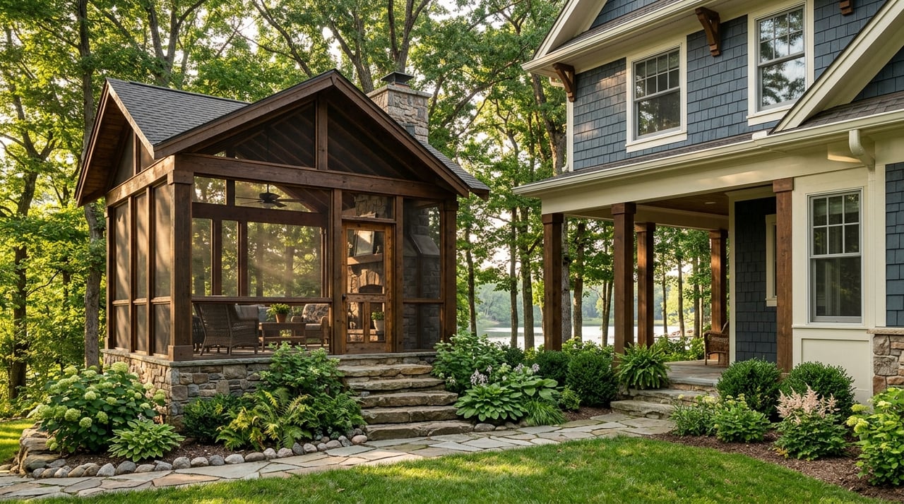
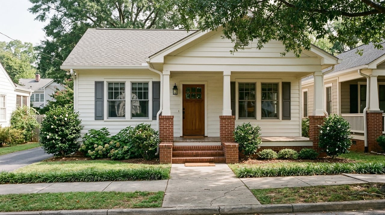
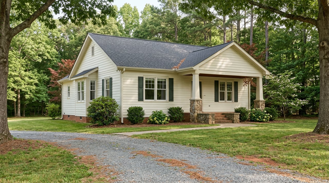
Small homesites (1–5 acres)
You will see wooded or partially cleared lots aimed at a primary home, cabin, or small modular setup. Close to town you may find shorter utility runs and, in some areas, public water or sewer. Cleveland’s permitting page outlines building and service basics for sites that fall in the city service area. Review details at Cleveland’s permitting and building page.
Recreation and hunting land (5–100+ acres)
These tracts trade lower price per acre for privacy, trails, and habitat. They often sit on private roads with no public water or sewer. Budget for a driveway, a well, and a septic system.
Hobby farms and small ag tracts (5–50 acres)
Buyers seek pasture, gardens, horses, or mixed use. The key is usable acreage. Steep slopes, rocky soils, or wet pockets can reduce what you can fence, graze, or plant. Use a soil map first, then verify in the field.
Timber and long‑term investment tracts (10–1,000+ acres)
Value depends on species mix, access, and harvest history. Some owners pair recreation with a future timber cut and enroll in a property tax program for working land. See Georgia’s conservation and forest land tax programs at TimberTax.org’s Georgia page.
Infill and development parcels
Near downtown or along main corridors, land often commands more per acre because it supports higher density uses. Expect a closer review of zoning, utilities, and road standards before approvals.
Pricing drivers to watch
- Utilities at the road. Parcels with public water, sewer, and nearby power usually command a premium. Learn how local service areas and building processes work at Cleveland’s permitting page.
- Road access and frontage. County‑maintained, paved frontage reduces future costs and improves resale. White County’s GIS viewer helps you confirm road types and parcel lines at the county’s mapping and GIS page.
- Topography and buildable area. Steep slopes or shallow bedrock increase site‑work costs and may limit where you can place a house or barn. Mountain protection rules can also apply. Review them at the county’s mountain and hillside protection page.
- Views and proximity to attractions. Yonah Mountain views and quick trips to Helen or nearby parks often boost demand. See general area context on Cleveland’s About page.
- Parcel size and unit economics. Small lots often sell at a higher price per acre, while larger tracts sell for a lower per‑acre number that reflects timber or recreation value. County‑level market snapshots are available on Land.com’s White County page.
What this means for your budget
Your budget should cover more than the purchase price. Set aside funds for due diligence items like soil tests, survey, a driveway, well and septic, and utility extensions. The steeper or more remote the property, the larger the site‑work line item and the longer the timeline.
Due diligence essentials
Title, deed, and access
Order a title commitment and study recorded easements, covenants, and rights‑of‑way. Verify legal ingress and egress, not just a worn path. Use the county’s parcel viewer as a first check for boundaries and road status at the White County GIS.
Zoning and allowed uses
Confirm whether the land sits in unincorporated White County or inside Cleveland city limits. Zoning rules, allowed uses, and processes differ. White County requires pre‑application meetings for rezoning, conditional uses, and variances. See procedures and maps on the White County land use and zoning page.
Utilities and service areas
Identify the electric provider and ask for written line‑extension costs. For water and sewer, Cleveland’s service area reaches beyond city limits in some locations. Check tap availability and fees with the utility before you buy. The city’s permitting page outlines local building and service steps at Cleveland’s permitting page.
Septic and wells
Most rural tracts rely on onsite systems. Georgia requires a septic permit from the county Board of Health after a site visit and soil evaluation under state rule DPH 511‑3‑1. Larger lots may qualify for conventional systems if soils meet criteria. Read the state rule at Georgia’s onsite sewage code. For wells, hire a licensed driller and test yield and water quality.
Soils, slope, and buildable area
Start with the USDA Web Soil Survey to flag rock, drainage, and depth to bedrock. Then hire a licensed soil professional for a site evaluation. Access the tool at NRCS Web Soil Survey. If slopes exceed local thresholds, you may need a mountain protection plan and a tree‑cut permit. Review local rules at White County’s mountain and hillside page.
Floodplain and wetlands
Use FEMA’s Map Service Center to check flood zones, then field‑verify as needed. Mapped wetlands and river corridors can limit building or trigger permits. Learn how flood maps work at FEMA’s overview of the MSC at FEMA’s training resource.
Erosion control and land disturbance
If your project disturbs more than minimal ground, you may need an erosion control plan, inspections, and a land‑disturbance permit. Plan time and budget for engineering and compliance, especially near state waters.
Property taxes and use‑value programs
Georgia’s Conservation Use Valuation Assessment (CUVA) and Forest Land Protection Act (FLPA) can reduce assessments for qualifying agricultural or timber use. These programs require multi‑year covenants and carry penalties for early exit. Get an overview at TimberTax.org’s Georgia page, then confirm details with the county assessor.
Survey and boundaries
Do not rely on old flags. Order a current boundary survey that shows improvements, easements, and rights‑of‑way. Compare the legal description to the county’s parcel viewer to catch obvious mismatches at the White County GIS.
Financing and timing
Raw land loans usually need larger down payments and may carry shorter terms. If you plan a home build, talk with lenders about construction‑to‑perm options early. Add time for septic approvals, utility extensions, and any land‑disturbance reviews.
Permitting and who to call
- White County Planning and Zoning. Pre‑application meetings for rezoning, conditional uses, and variances. See process and contacts on the county land use and zoning page.
- White County Building Department. For permits and inspections in unincorporated areas. See details on the building department page via the county site.
- City of Cleveland Permitting. For sites within city limits or city service areas. Review building and utility specs at Cleveland’s permitting page.
- County GIS and Clerk of Court. For parcel maps, recorded plats, and deeds. Start with the White County GIS viewer.
Step‑by‑step plan
- Pull the parcel in the county GIS and read the most recent recorded plat and deed. Start with the White County GIS.
- Check zoning, setbacks, and use allowances. If you need a change, schedule a pre‑application with planning at the county zoning page.
- Screen soils with the NRCS Web Soil Survey, then hire a licensed soil classifier for a site evaluation.
- Call the city or county about water, sewer, and septic steps. Review local building info at Cleveland’s permitting page and state septic rules at Georgia’s onsite sewage code.
- Order a survey and title commitment. Write your contract with contingencies for septic approval, well yield, utility feasibility, and boundary confirmation.
Negotiation tips
Land sellers often price in uncertainty about soils, access, and permits. You can reduce that uncertainty by completing key feasibility steps during due diligence. Submitting a contract with clear timelines and practical contingencies, like septic approval under Georgia’s onsite sewage code, can help you protect your budget while keeping the deal on track.
Mistakes to avoid
- Skipping a soil evaluation and assuming any lot can take a conventional septic system.
- Ignoring slopes and rock that can double site‑work costs.
- Assuming you can extend public water or sewer without checking availability and tap fees.
- Relying on a rough sketch instead of a current boundary survey.
- Overlooking program covenants when enrolling land in use‑value tax programs.
Build or develop
If you plan a home, barn, or subdivision, your path will include engineering, erosion control, and scheduled inspections. Mountain protection rules apply on certain slopes and may limit clearing or require a formal plan. Review those rules at the county’s mountain and hillside protection page and confirm zoning and process at the county zoning page before you set your timeline.
Work with local experts
Buying acreage in the North Georgia foothills is equal parts vision and verification. A hands‑on local team can help you spot the right tract, map out utilities and septic, and line up a build or long‑term hold plan that fits your goals. If you want a clear, step‑by‑step path from first showing to closing, reach out to Chad & Julie M Williams for local guidance on land, development consulting, and mountain properties.
FAQs
What should I check first when buying land in Cleveland, GA?
- Start with parcel maps and recorded plats, then confirm zoning and access using the White County GIS viewer and the county zoning page.
How do I know if a lot can support a septic system?
- Georgia requires a site evaluation and septic permit under state rule DPH 511‑3‑1; read the criteria at Georgia’s onsite sewage code and hire a licensed soil professional.
Are there floodplain or wetland limits in White County?
- Yes. Check FEMA flood zones via the Map Service Center and investigate wetlands or river corridors; learn the basics at FEMA’s MSC overview.
Do mountain protection rules affect building near Cleveland?
- They can. On certain slopes, White County requires a mountain protection plan and limits clearing or tree cutting; see details at the county’s mountain and hillside page.
How do utilities influence land value?
- Public water, sewer, and nearby power lines usually raise per‑acre pricing and reduce build costs; see local building and service context at Cleveland’s permitting page.
Are there property tax programs for farmland or timber tracts?
- Yes. Georgia’s CUVA and FLPA programs can lower assessments for qualifying use, but they require covenants; review the overview at TimberTax.org’s Georgia page.